
Patta Chitta FMB – View FMB Sketch Online in Tamil Nadu
Learn what a Field Measurement Book (FMB) is, how to view an FMB sketch online, and understand survey numbers, subdivisions and land measurements in Tamil Nadu.
Visit Official Land Records Portal Visit Patta Chitta HomepageLooking for a Patta Chitta FMB sketch in Tamil Nadu? The Field Measurement Book (FMB) is a land-survey record that provides a sketch of a land parcel and its measured boundaries. It can help landowners understand the recorded layout of a survey field and identify its survey and subdivision details.
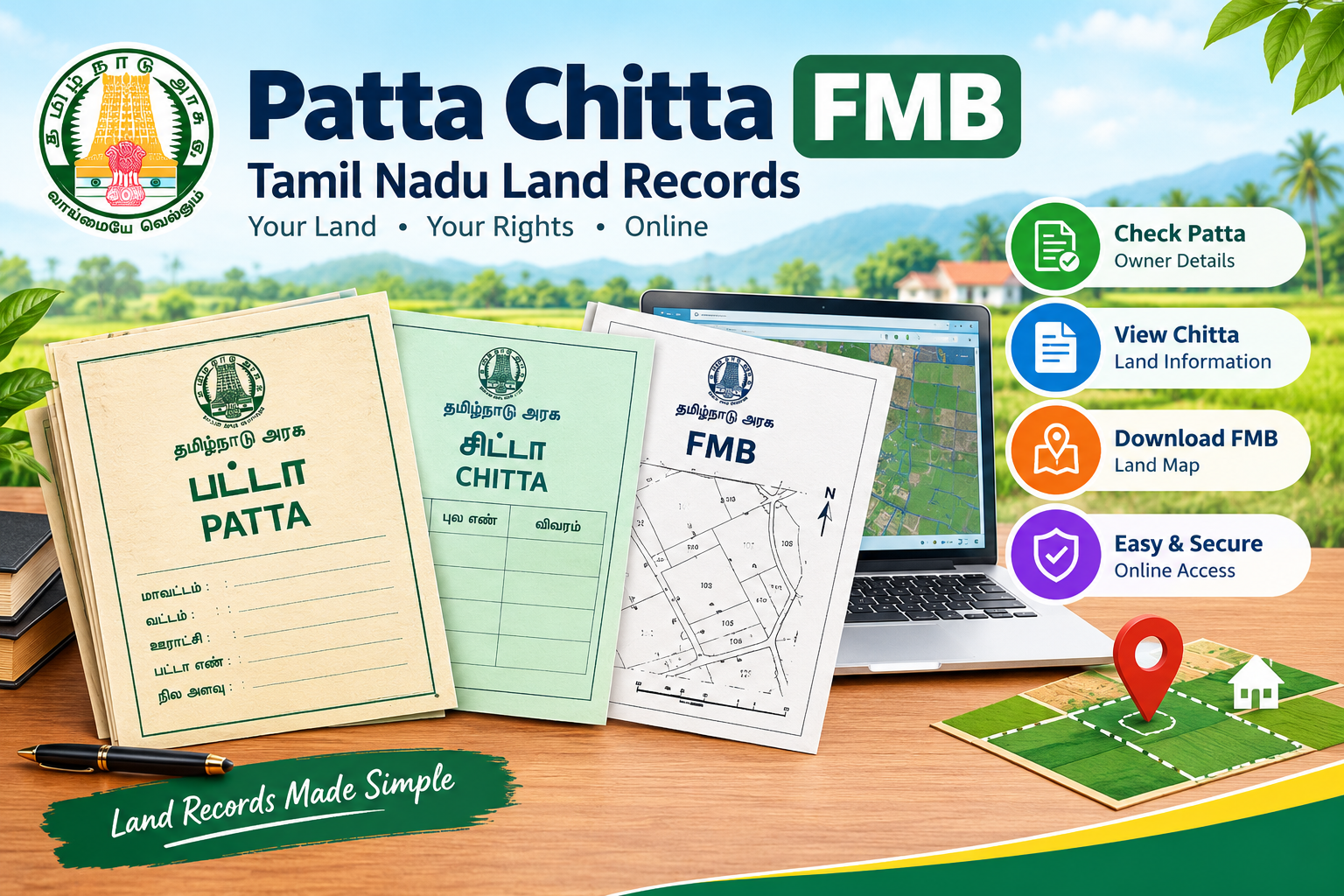
What Is FMB (Field Measurement Book)?
FMB stands for Field Measurement Book. It is a land-survey record maintained for surveyed land parcels. An FMB sketch represents the measured field boundaries and related survey details for a particular parcel, where the record is available.
In Tamil Nadu, the official land-record e-Services portal provides access to Patta, Chitta and FMB-related services for eligible rural and Natham records. Users generally need location and survey information to find the relevant record.
Land Boundary Sketch
Helps visualize the recorded shape and boundaries of a surveyed parcel.
Survey Details
Connects a land parcel with its survey number and, where applicable, subdivision number.
Reference for Review
Can support understanding and reviewing land-record information alongside other documents.
How to View Patta Chitta FMB Sketch Online
You can check the availability of an FMB sketch through the official Tamil Nadu e-Services land-record portal. Keep your land details ready before starting.
- Open the official portal: Visit Tamil Nadu e-Services.
- Select the relevant service: Look for the option to view Patta / Chitta / FMB or the FMB Sketch service for Rural / Natham land, as available.
- Choose the location: Select the applicable district, taluk and village from the available options.
- Enter survey information: Provide the survey number and subdivision number, if applicable, as shown in your land documents.
- Complete verification: Enter the displayed authentication code or captcha if the portal asks for it.
- View the record: Submit the details and review the result if a matching record is available. Use the portal’s available print or download option, if provided.
Details You May Need to Find an FMB Sketch
| Required detail | What it means |
|---|---|
| District | The district where the land is recorded. |
| Taluk | The relevant taluk for the land parcel. |
| Village | The revenue village in which the land is recorded. |
| Survey Number | The identifier assigned to the surveyed land parcel. |
| Subdivision Number | An additional identifier when a survey field is subdivided. |
Understanding Survey Numbers and Subdivisions
A survey number is used to identify a parcel of land in the land-survey records. If a parcel is subdivided, its subdivisions may be shown with additional identifiers. The exact format can vary depending on the record.
For example, a document might show a survey reference such as 123/4A. The way this should be entered depends on the fields and instructions shown on the official portal. Always follow the original record rather than assuming a format.
How to Understand FMB Measurements
An FMB sketch can show the recorded layout of a parcel and measurements used in its survey. Review the labels and measurement notation displayed on the actual sketch. Do not assume that a drawn sketch is to scale when printed or viewed on a screen.
- Compare the survey and subdivision identifiers with your land documents.
- Review the boundary lines and measurements shown on the official sketch.
- Check the record date and any notes shown in the extract, if available.
- Seek assistance from a qualified surveyor or the relevant government office if the boundaries are unclear or disputed.
FMB Sketch vs Patta Chitta
| FMB Sketch | Patta / Chitta Record |
|---|---|
| Primarily shows the surveyed parcel layout and boundary measurements. | Provides land-record details such as recorded holder and land classification, depending on the extract. |
| Useful for understanding the recorded field sketch. | Useful for reviewing revenue-record information. |
| Does not, by itself, establish legal ownership or confirm a physical boundary on the ground. | Should be considered with title deeds and other relevant documents for property due diligence. |
Official Tamil Nadu FMB and Land Records Website
The Government of Tamil Nadu’s e-Services portal provides online access to land-record services, including Patta, Chitta and FMB-related records for supported areas. The Government Services Portal of India also describes access to rural land records using district, taluk, village, survey number and subdivision details.
Open the official Tamil Nadu e-Services portal
You can also return to our Patta Chitta Tamil Nadu homepage for general information about land records and related services.
Common Reasons an FMB Sketch May Not Appear
- The survey number or subdivision number was entered incorrectly.
- The selected district, taluk or village does not match the land record.
- The particular sketch may not be available through the online service.
- The official portal may be temporarily unavailable or experiencing a technical issue.
If the record is not available, verify the details and try again later. You may also contact the local Survey and Land Records office for guidance.
Frequently Asked Questions
1. What is an FMB sketch in Tamil Nadu?
An FMB sketch is a field-survey drawing that shows the recorded layout and boundary measurements of a surveyed land parcel, where available.
2. Can I view an FMB sketch online?
Eligible FMB records can be accessed through the Tamil Nadu e-Services portal. Availability depends on the land record and the service.
3. What details are needed to search for an FMB sketch?
You may need the district, taluk, village, survey number and subdivision number, as applicable to the portal’s search form.
4. Is an FMB sketch proof of ownership?
No. An FMB sketch is a survey record, not a standalone proof of legal ownership. Review title documents and relevant official records as well.
5. What should I do if my FMB sketch is unavailable?
Recheck your location and survey details, try again later if the portal is unavailable, or seek help from the local Survey and Land Records office.
6. Is this website an official government portal?
No. Pattachittae.com is an independent informational website. The official Tamil Nadu land-record service is provided through the government e-Services portal.
Why Is Patta Chitta FMB Important for Land Records?
Patta Chitta FMB helps landowners understand the recorded details of their land in Tamil Nadu. An FMB sketch provides useful information about survey boundaries, measurements and subdivision details. Checking the Patta Chitta FMB record through the official portal can help you review the available survey information.
Before making property-related decisions, compare your Patta Chitta FMB details with your other land documents. If you notice differences in survey numbers, boundaries or measurements, contact the relevant Survey and Land Records office for clarification. You can also visit our Patta Chitta homepage to explore more information about Tamil Nadu land records.
To check the availability of your Patta Chitta FMB sketch, use the official Tamil Nadu e-Services portal. Always verify the latest information directly from the government source.